 Introducing 3D Laser Scanner P40 In India. Please visit
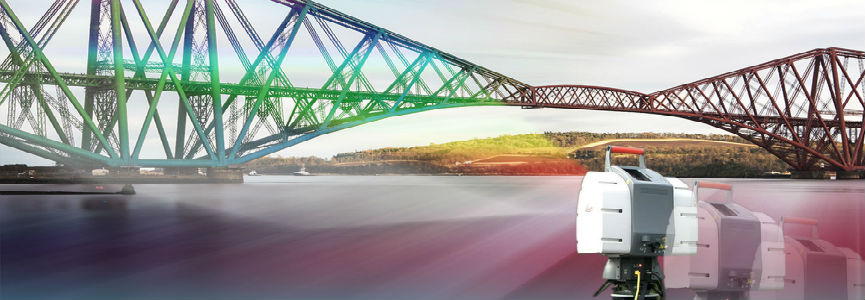
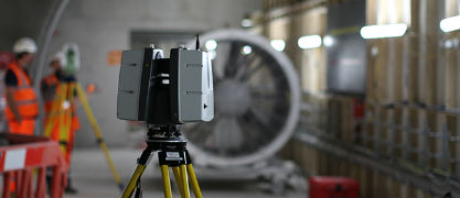
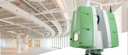
LASER SCANNING is a relatively new technology, having been used as a precise survey instrument only. Now, it is quickly becoming the new industry standard as a way to make very accurate measurements in complicated environments. This is precisely why using this technology is the best solution for measuring as-built conditions inside buildings. This instrument collects survey data points at a rate of 50,000 points per second. It has an effective range of 400’ to 500’. With several “scan” setups inside a room or of a building, a complete 3D model can be made of the existing conditions. These models are then used to create 2D civil or architectural drawings, 3D computer models, and final survey documents.
3D Laser Scanning captures spatial data by the use of laser light.The shape, position & spatial locations of objects are recorded by millions of points, each with a latitude, longitude and elevation (XYZ) coordinate.Whether you call it 3D Laser Imaging, 3D Laser Scanning, 3D Laser Surveying or High-definition Surveying.This type of surveying which will become the norm in the future and can be delivered to you now by LandAir. RADAR bounces radio waves off of an object and analyzes the returning waves. SONAR does the same with sound waves. LIDAR is the next logical step in technological evolution.
| S.No | Client Name | Scope Of Work |
|---|---|---|
| 1 | AL GHURAIR REAL ESTATE LLC | 3D LASER SCANNING FOR MEP OF RETAILS SHOPS |
| 2 | PARSONS | TOPOGRAPHIC SURVEY FOR THE LAGOONS DEVELOPMENT |
| 3 | ABU DHABI FUTURE ENERGY COMPANY PJSC- MASDAR | TOPOGRAPHIC SURVEY FOR FIELD C OF DUBAIDEWA 800 MW PV AT SAIH AL DAHAL COMMUNITY |